
Because of the hills, this was by far the hardest workout I've had to date, although Pedal Popper's 21.3 mile journey the other day still tops it. There are new hiking trails through the Fitton Green forest, so I had to map this out on Photoshop as best I could. The blue is the route we traveled before deciding to head back home. From that point on, the route is in pink. If I were to compare this to another hike, the closest I could say this comes to is the loop around all of the ten falls at Silver Falls near Sublimity and Silverton, Oregon - but there would be no biking on that route. Since the bikes made the entire journey with us, being ridden or pushed up the steepest of trails, this kicked up the difficulty level of today's route a notch or two.


First summit area resting, and having fun with our old friends - the trees.


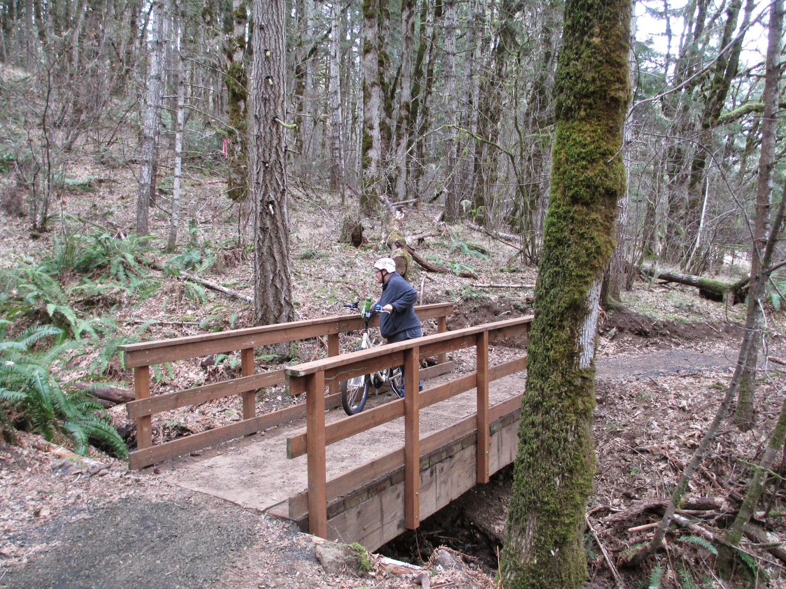
Second summit-like area. Another resting spot. Thought we were at the top - the view said so, but the trail knew better...

Baby trees popping up everywhere.

Funny little lichens.


Gotta love the old dead trees that are still alive with ferns and critters.


 Always neat little finds in the great outdoors. The snail seemed to have moved out.

 An Oregon Iris in full bloom in February? Hmmm, the Audubon Society says they bloom from April to June in the grassy lowlands. These two flowers were the only ones on the whole hill, so it was a real treat to spot them. Our February has really felt more like sunnier and warmer April. I'm tempted to get the spinach planted soon. Suppose I'd invite a late winter snow then.


 One of the trailhead signs with our reflections, but we still had a few miles to go. This was our last trail pic though for the day, Strangely, we had the whole trail to ourselves the entire length of it. Once we left the Bald Hill area, we never spotted another person until we got back to the roads.
So that was our exercise outing today. I got my rims and brakes hot descending these hills, but it was FUN!
Hope to catch you all later.
-Sprocket
No comments:
Post a Comment